Manage image capturing projects
A complete package for managing and tracking your image capturing project.
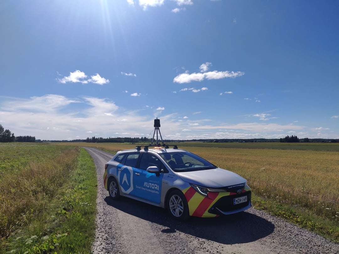
Plan, store and share image projects
Autori's image management service provides solutions for planning and executing photo shoots in the field, as well as uploading photos to the platform. It also includes secure storage and map-based photo viewing service.
You can publish desired 360-degree photos to Google Street View for public use. Alternatively, our image management service includes Autori Vista which is perfect in situations where the captured photo material is quickly needed for personal viewing.
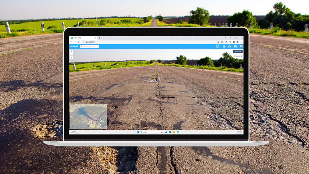
Documenting road assets and infrastructure
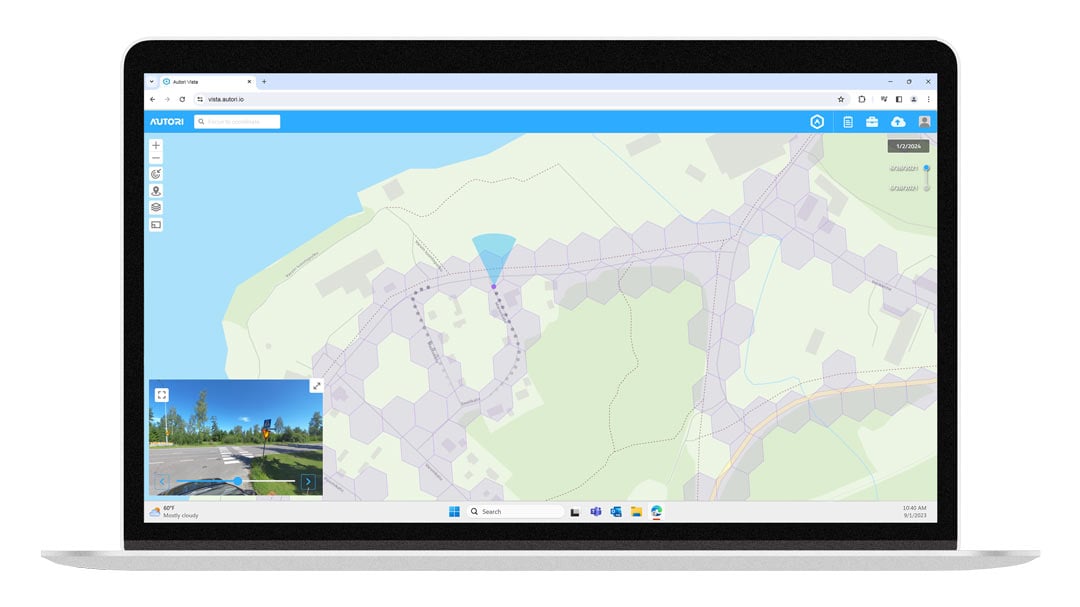
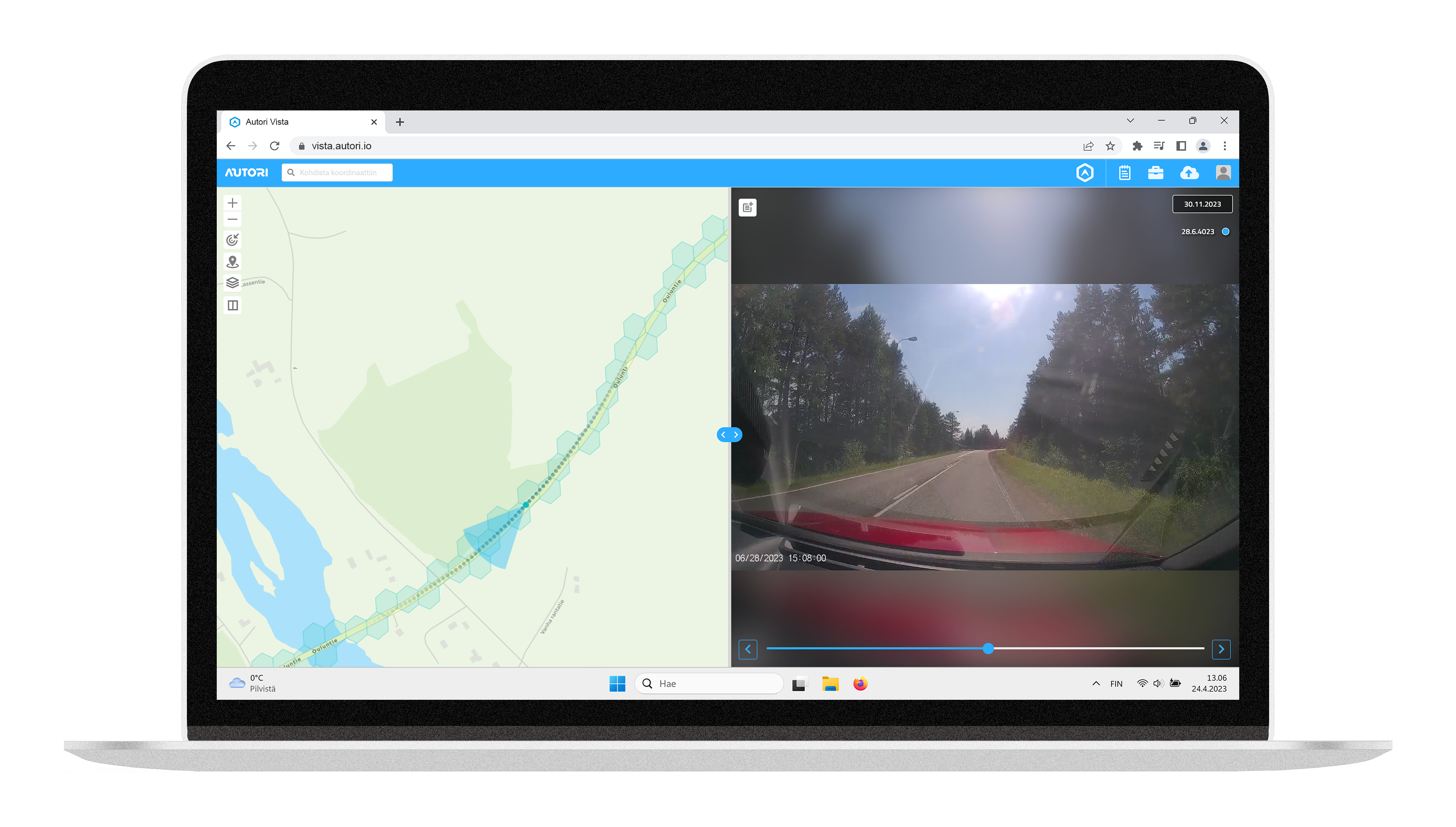
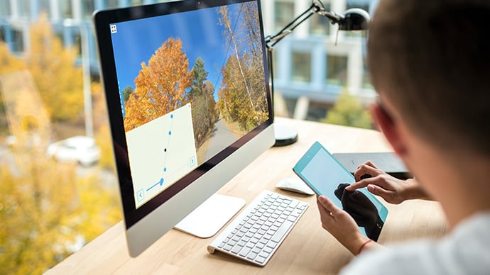
Vista is an excellent tool for comprehensive image viewing. It provides management solutions for maintenance quality control, infrastructure, as well as supporting operations. Our Vista Camera app can be used for continuous image capturing for different projects. Images are automatically uploaded to Vista image viewer in the background.
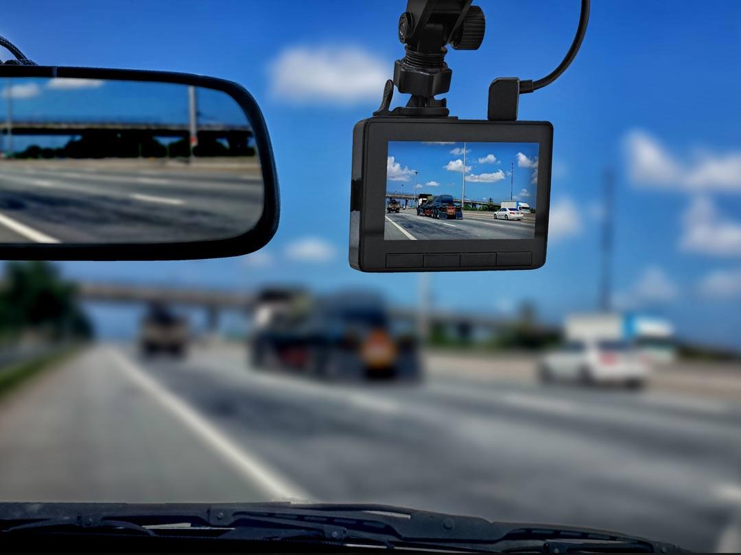
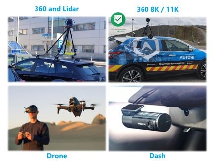
Autori Vista is a flexible and open service that supports various needs and cameras, such as 360-degree cameras, dash cameras, action cameras, and drones.
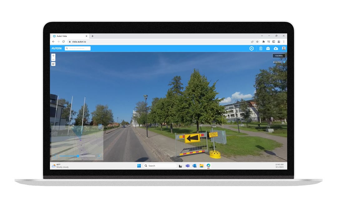

Vista Camera app
Capture images of contract areas, roads, streets or other assets.
Managing route planning
With Vista's route planning service, management can create and distribute route plans for photographers using a map view. The supervision service provides real-time updates on the progress of the assignments for management.
These services can be used to manage individual location or street photography projects, as well as large-scale projects spanning multiple countries, where the work of multiple photographers needs to be coordinated simultaneously.
All-in-one work management solution
With real-time monitoring, necessary route changes and new assignments can be made flexibly. Reporting tools support real-time tracking as well as post-analysis of photography costs and time usage.
The mobile application serves as a personal tool for photographers in the field. It provides a clear view of their location and assigned photography targets on a map. This map-based service helps photographers navigate according to the photography plan, enhancing their work efficiency and improving traffic safety.
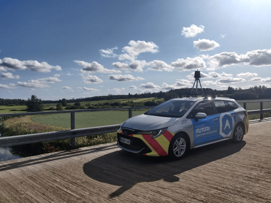
Suitable for all imagery
Roads and streets
Railways
Ports
Wind farms
Tourist centers
Hiking trails
Airports
Other large industrial areas and infrastructure pathways
Publishing service
With Autori's publishing service, you can effortlessly upload your image material to the cloud and share it across various agreed-upon environments and image viewing platforms. Our publishing service also allows you to upload previously captured material from different devices. Whether you have new or existing image material, our publishing service is perfect for storing, processing, and refining your content. We have the capability to handle still and video formats, as well as flat and 360-degree image content.
Users have the option to download their own content from the service as a zip package. Additionally, thanks to our long-standing Google Trusted Partner (How Autori revolutioned road maintenance Finland) collaboration, we have the opportunity to publish large quantities of 360-degree images to Google Street View. This means that not only maintenance professionals, but all users of the Google Street View mapping service can benefit from public image material.
The service can also provide users with image storage. Our customer-specific image storage service is located in a secure and fault-tolerant Microsoft Azure cloud environment.
Services for asset management challenges
Autori platform makes asset management more effective. Autori helps to visualize your infrastructure on your screen enabling quality assurance, inventory and work flow management.
Are you ready to take action?
This is for everyone who:
- Needs smart solutions for real-time situation awareness in street and road maintenance
- Wants to visualize remote assets and plan maintenance
- Needs to manage and utilize 360 and 2D imagery
If you're interested, please schedule your free demo.